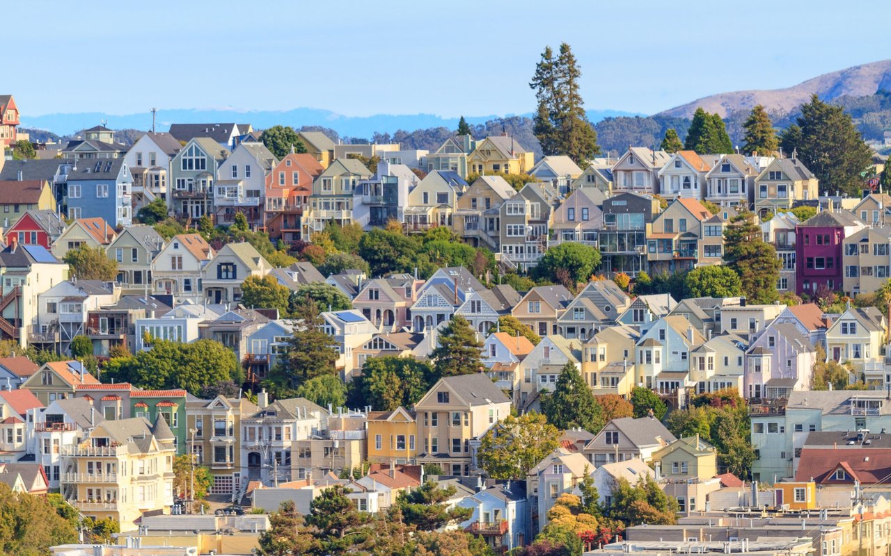
Walk two blocks in the Outer Sunset and you can stand in front of two homes that are, on paper, identical candidates for the state's new transit housing law. Same distance from the N-Judah. Same zoning district. Same rough vintage of stucco facade. One of them sits on a parcel where a developer could plausibly assemble a mid-rise building in the next decade. The other is locked in place until at least 2032, maybe longer, because of a designation that has nothing to do with its distance from the train.
That gap is not a rumor or a worst-case scenario someone is spinning up for a public hearing. It is written into an ordinance Mayor Daniel Lurie signed on May 8, 2026, and it is the reason that Senate Bill 79, California's much-discussed transit-oriented housing law, does not actually govern a single parcel in San Francisco. Not because the city defied the state. Because the city complied with it in a way that let San Francisco write its own map instead.
If you are comparing San Francisco neighborhoods right now, that distinction is worth more than the headline about nine-story buildings near BART stations.
The Ordinance That Replaced the State's Rulebook
SB 79, formally the Abundant and Affordable Homes Near Transit Act, became operative statewide on July 1, 2026. Its default rules are straightforward on their face: qualifying transit stops get tiered height and density allowances, with Tier 1 stops (BART and Caltrain) permitting the most, and Tier 2 stops (Muni Metro light rail and true bus rapid transit) permitting somewhat less. San Francisco has roughly 270 qualifying transit stops, and SF Planning's own accounting puts about three-quarters of the city's parcels, close to 120,000 of them, within areas that could be touched by the law based on distance alone.
But the law also gives cities an out: adopt a locally tailored "Alternative Plan" that produces equivalent housing capacity, and the state's default heights never actually attach. San Francisco took that path. The May 8 ordinance formalizes it, and the effect is stated plainly in the city's own project documentation: the Alternative Plan applies citywide, meaning no parcel in San Francisco is subject to SB 79's default heights and densities. The city substituted its own standards everywhere, including a new Planning Code Section 207.11 that guarantees at least half of SB 79's density on qualifying parcels where existing zoning falls short.
That substitution did not happen in a vacuum. It happened on top of the Family Zoning Plan, which Mayor Lurie signed on December 12, 2025, with rules taking effect January 12, 2026. That plan lifted height and density restrictions that had stood for roughly fifty years in the Sunset, Richmond, and Marina districts. It was real upzoning. It was also deliberately capped: reporting from The Real Deal in early March 2026 notes the plan holds Richmond, Sunset, and Pacific Heights parcels to a 40-foot height limit, well under the 55-to-95-foot range SB 79's own state default would allow near the best-served transit stops.
Where the Map Already Picked Winners
Once you separate the state's theoretical rulebook from the map San Francisco actually adopted, three categories emerge, and a buyer evaluating neighborhoods should know which one a given block sits in before assuming anything about its future.
- Already upzoned, but capped low. The Sunset, Richmond, and Marina districts got new density under the Family Zoning Plan, but at height limits well short of what SB 79's own tiers would have allowed near a Tier 1 or Tier 2 stop.
- Permanently walled off. San Francisco's implementing ordinance designates three Industrial Employment Hubs, each over 250 acres, and permanently excludes the parcels inside them from SB 79 entirely, regardless of how close they sit to a station.
- Temporarily exempt until January 2032. Roughly 19,850 parcels in census tracts the state designates as low-resource are exempted from the law until January 2032, one year after San Francisco's next Housing Element update. Reporting from The Frisc ties this delay to large stretches of the Mission, Bayview, Chinatown, and Tenderloin, the same neighborhoods the Family Zoning Plan's own equity framework had already carved out of its new density.
None of this correlates cleanly with how far a home sits from a train platform. A parcel can be a five-minute walk from a BART station and still fall inside a permanently excluded industrial hub or a temporarily exempt low-resource tract. The variable that actually predicts development pressure is which of these three categories a parcel lands in, not its straight-line distance to a stop.
Why the Line Itself Is Still Being Fought
Here is the part that should give any buyer pause before treating today's map as settled. The exemptions are contested, actively, by people willing to sue.
Trauss of YIMBY Law sent San Francisco's Board of Supervisors a letter warning that the city's industrial hub exemptions overreach the statute. Her argument, as reported by Davis Vanguard in July 2026, is specific: "Because these zoning districts permit housing, the statutory exemption for industrial employment hubs does not apply." The letter goes further and threatens litigation if the city does not narrow its carve-outs.
That is not the only legal front. The Family Zoning Plan itself is caught in a two-sided fight. Neighborhoods United SF and Small Business Forward have sued arguing the city rushed its environmental review under CEQA. YIMBY Law and allied groups have sued from the opposite direction, arguing the plan falls short of what state law requires. San Francisco's chief economist has projected modest actual production even under the plan as adopted, which means the gap between what's zoned and what gets built could stay wide no matter how the lawsuits resolve.
None of this is settled as of this writing. A parcel that is temporarily exempt today could lose that protection if a court sides with YIMBY Law's reading of the statute. A parcel the Family Zoning Plan capped at 40 feet could see that cap challenged too. The map is current, but it is not fixed.
What This Means If You're Comparing Blocks Right Now
If you are weighing San Francisco neighborhoods against each other, the practical move is to stop treating "near transit" as a single data point and start checking parcel-level status directly. San Francisco Planning's Property Information Map includes a Transit-Oriented Residential Development Areas layer that shows, address by address, whether a site sits inside an industrial hub exclusion, a temporarily exempt low-resource tract, or an area already governed by the Family Zoning Plan's own standards. That fifteen-minute check tells you more about a block's future than any citywide statistic about how many parcels are theoretically covered by SB 79.
This matters differently depending on what you're optimizing for. A buyer who wants long-term neighborhood stability might prefer a block inside a temporarily exempt tract, at least through 2032. A buyer thinking about resale value tied to future redevelopment potential might care more about whether a parcel already qualifies for the Section 207.11 density bump. Either way, the answer is not implied by proximity to a station. It has to be looked up.
What the Market Is Already Pricing In
Whatever the courts eventually decide, current transaction data shows the neighborhoods where scarcity is already baked in commanding real premiums. Across closed sales on the San Francisco MLS from mid-July 2025 through mid-July 2026, Noe Valley recorded 110 house sales at a $2.88 million median, with the typical over-list sale closing $605,000 above its asking price. Eureka Valley and Dolores Heights closed 49 house sales at a $3.48 million median over the same period. At the top of the market, Cow Hollow posted a $7.89 million median across 20 sales, just ahead of Pacific Heights at $6.85 million.
Contrast that with the city's downtown condo districts, where a different dynamic is playing out. Condos in those areas closed around a $1.01 to $1.02 million median over the same period, with only 31 to 38 percent selling over list and average market timelines stretching toward 77 days. That is a market with real buyer leverage, a sharp difference from the low-rise house neighborhoods where bidding above asking is closer to the norm.
Tenancy-in-common sales tell a related story. TIC closings ran a $1.09 million median over the same window, roughly $95,000 below the citywide condo median, for often larger space. It remains the ownership structure buyers use when they want more square footage and are willing to accept the tradeoffs that come with shared building financing.
None of these numbers prove that zoning status caused the pricing pattern you see today. But they do show that the neighborhoods carrying the steepest premiums right now are largely the ones where new supply is either already capped by the Family Zoning Plan or facing years of exemption, while the segments showing buyer leverage sit in the parts of the housing stock, condos and TICs, that were never going to be affected by SB 79's height debate in the first place.
A Few Questions Worth Asking Before You Commit
How do I find out if a specific address falls inside an exempted zone? Check San Francisco Planning's Property Information Map and look for the Transit-Oriented Residential Development Areas layer. It will show whether a parcel sits inside a permanently excluded industrial hub, a temporarily exempt low-resource tract, or an area governed by the Family Zoning Plan's own standards.
Does any of this affect a home I already own, or only future construction on nearby lots? It primarily governs what can legally be built on a given parcel or a neighboring one. An existing single-family home does not become subject to new density requirements simply because the surrounding zoning changed, though neighboring redevelopment can change the character of the block over time.
When do the temporary exemptions actually expire? San Francisco Planning's own documentation sets the date at January 2032, one year after the city's next Housing Element update. That date could move if the update itself slips, and the exemption is already being challenged in court.
If you are trying to figure out what a specific San Francisco block's zoning status actually means for your search, that is exactly the kind of parcel-level digging worth doing before you fall for a listing photo. Cj Salazar works across San Francisco and the wider Bay Area every day and can walk through what a property's current zoning status does and doesn't tell you about its future. Schedule a free consultation to talk through what you're comparing before you make an offer.